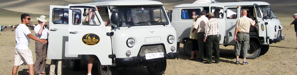

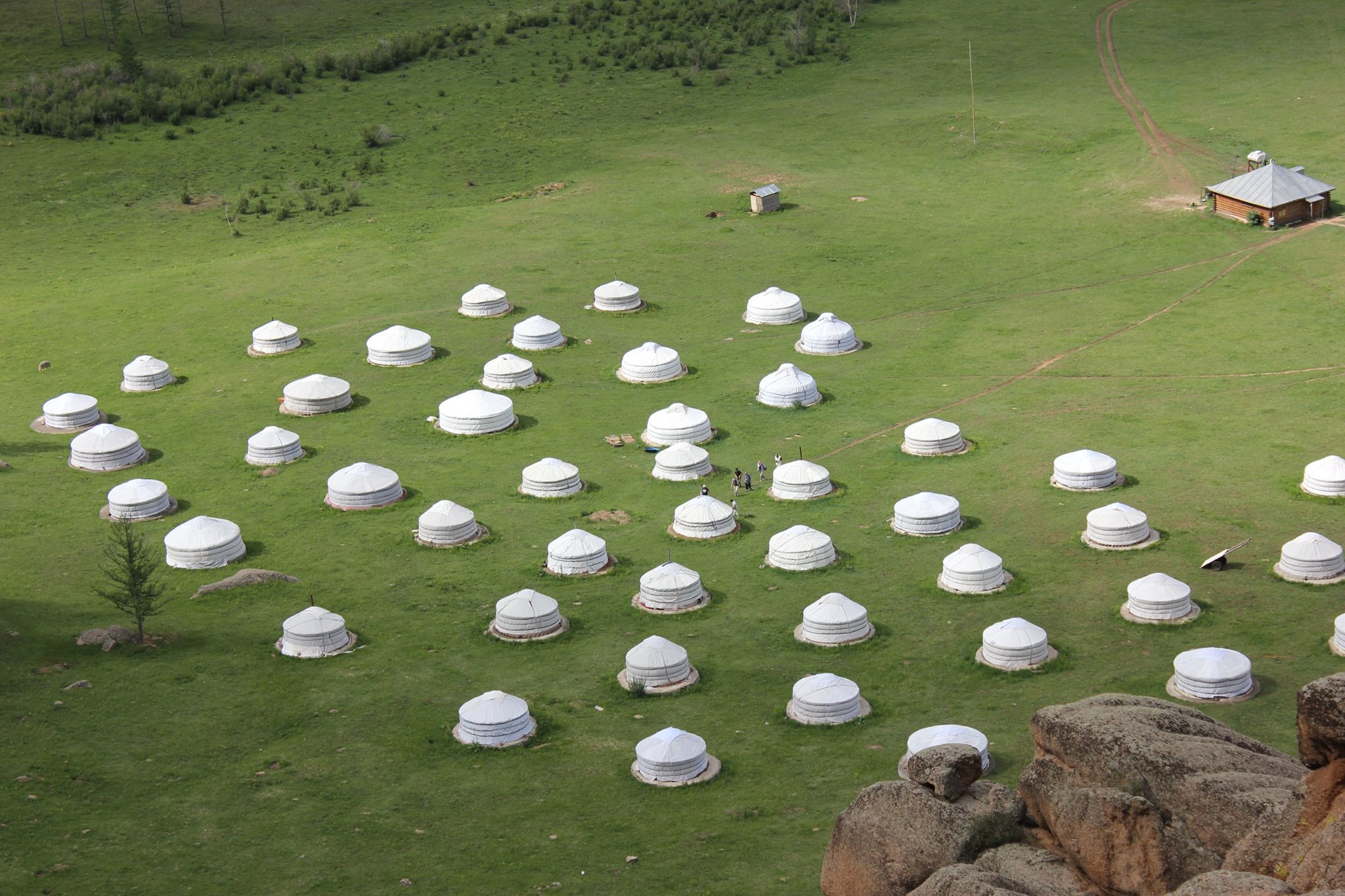
Brief Introduction
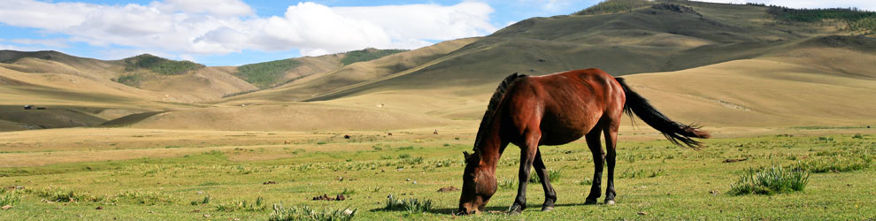
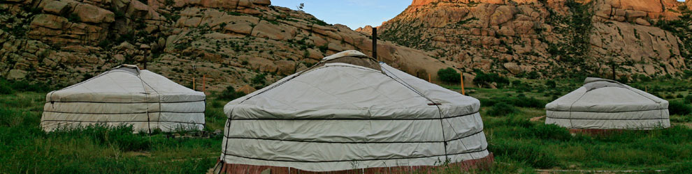
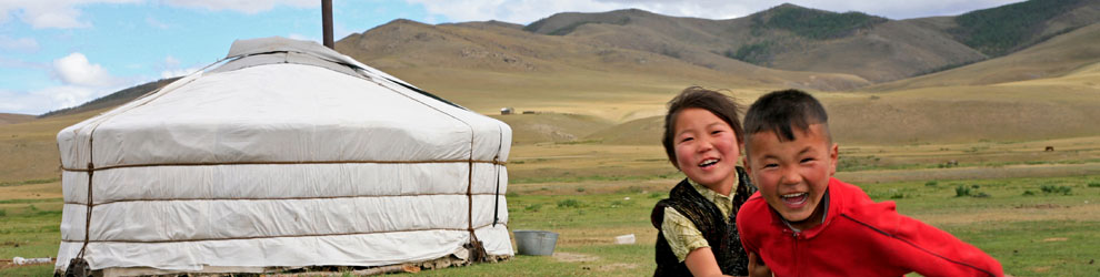
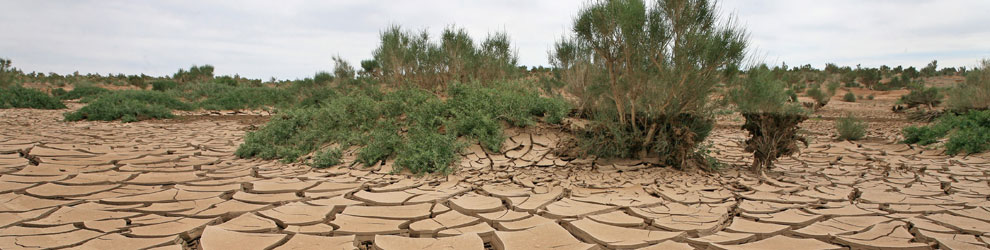
The Mongolia lies in the northern part of the Central Asian plateau between the meridian of 87° 44’ and 119° 56’ eastern longitude and in latitudes 52° 09’ and 41° 35’ north. The distance between the country’s westernmost and easternmost points is 2.392 km (1.486.6 miles), and 1.259 km (782.5 miles) between its northernmost and southernmost points. Mongolia, total area is 1.566.500 sq.km (973.586.07 sq. miles) and is the 6-th largest country in Asia and 18-th in the world. Vast nearly 3 times the size France and more than 4 times the United Kingdom. The Mongolia borders on the Russian Federation and the China. The 8,158 km (5.070 mile) state border passes exclusively through land. To the north, Mongolia borders on the Russian federation along a 3.485 km (2.165.9 mile) line, and it has 4.673 km (2.904.3 mile) long common border with the China in the south. Mongolia is a country with a remarkable variety of natural contrasts. Eternally snow-capped mountain masses, rising high above sea-level, neighbor with vast hilly Plains covered with highland plants and marshy coniferous forests and deserts and semi-deserts and numerous clear-water lakes with solonchaks. Mongolia has an average altitude of 1.580 m (5.185.9 feet) above sea level. The highest point is the Khuiten peak (4.653 m or 15.272.4 feet) in the Tavan Bogd mountain range at a point where the state borders of the Mongolia the Russian and the China meet. The lowest point is the Hoh Nuur (Blue lake), lying at an altitude of 532 m (1.746 feet) above sea level.The territory of Mongolia is in three time-zones-the sixth, seventh and eighth, starting from the prime meridian of 0° . As of February 2014, the population of the country was 2.900.000. The country is divided into 21 administrative territorial units - aimag, including 3 big cities Darkhan, Erdenet, and Choir. The capital of Mongolia is Ulaanbaatar.
Brief Introduction
The Mongolia lies in the northern part of the Central Asian plateau between the meridian of 87° 44’ and 119° 56’ eastern longitude and in latitudes 52° 09’ and 41° 35’ north. The distance between the country’s westernmost and easternmost points is 2.392 km (1.486.6 miles), and 1.259 km (782.5 miles) between its northernmost and southernmost points. Mongolia, total area is 1.566.500 sq.km (973.586.07 sq. miles) and is the 6-th largest country in Asia and 18-th in the world. Vast nearly 3 times the size France and more than 4 times the United Kingdom. The Mongolia borders on the Russian Federation and the China. The 8,158 km (5.070 mile) state border passes exclusively through land. To the north, Mongolia borders on the Russian federation along a 3.485 km (2.165.9 mile) line, and it has 4.673 km (2.904.3 mile) long common border with the China in the south. Mongolia is a country with a remarkable variety of natural contrasts. Eternally snow-capped mountain masses, rising high above sea-level, neighbor with vast hilly Plains covered with highland plants and marshy coniferous forests and deserts and semi-deserts and numerous clear-water lakes with solonchaks. Mongolia has an average altitude of 1.580 m (5.185.9 feet) above sea level. The highest point is the Khuiten peak (4.653 m or 15.272.4 feet) in the Tavan Bogd mountain range at a point where the state borders of the Mongolia the Russian and the China meet. The lowest point is the Hoh Nuur (Blue lake), lying at an altitude of 532 m (1.746 feet) above sea level.The territory of Mongolia is in three time-zones-the sixth, seventh and eighth, starting from the prime meridian of 0° . As of February 2014, the population of the country was 2.900.000. The country is divided into 21 administrative territorial units - aimag, including 3 big cities Darkhan, Erdenet, and Choir. The capital of Mongolia is Ulaanbaatar.